My latest article and my first time writing for The Diplomat, a magazine I’ve long admired ever since the time, years ago, when it was still produced in hard copy in Australia.

My latest article and my first time writing for The Diplomat, a magazine I’ve long admired ever since the time, years ago, when it was still produced in hard copy in Australia.

When I moved to Australia from Canada as a child, I was struck by the shape of my new home. In Canada I had to draw maps of my native land in exacting detail. This skill atrophied at my Sydney primary school when I was handed a plastic stencil of Australia, stamped with the helpful suggestion: “NOTE: TASMANIA TO BE DRAWN FREE HAND.” I loved that this continent was so whole and perfect I could hold it in my hand, the outline of Australia so self-contained it easily became its own template, icon and logo. What I didn’t know was that it took centuries of discovery and cartographic effort to resolve this shape.
The Mapping Our World: Terra Incognita to Australia exhibition at Canberra’s National Library of Australia (until 10 March) shows how Europeans discovered and charted our coastline, which had for centuries been imagined as the Unknown South Land, Terra Australis Incognita.
(rest of article in Feb 2014 issue or on website)

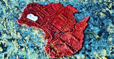
Love this image my editor John van Tiggelen used for the article – it’s perfect. I still like my original title Land of Parrots…